Across Newfoundland Island
Aug 1
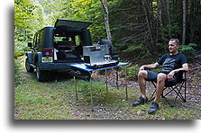
My ferry arrived to Port aux Basque in Newfoundland, Canada at 1 AM. I decided to drive north for another hour ending my day somewhere in the woods. Next morning shortly after I woke up, a pickup truck was passing by. A guy stopped and asked, "Where do you plan to fish? I have never fished before and had no plans to do it in near future, but he was a very friendly man and gave me some tips on fishing in nearby lakes anyway.
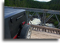
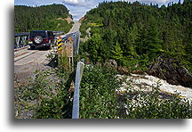
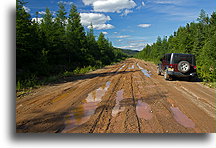
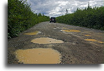
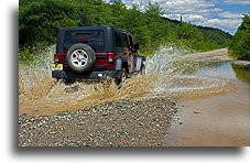
Newfoundland has one main highway (part of Trans-Canada Highway) connecting two ends of the island, over 900 km in distance. This was a paved road in a direction, I have chosen. However, analyzing local maps, I found a "shortcut" leading through the center part of the island. It seemed quite attractive to me. I turned from the main highway onto route 340. After 50.5 km, I noticed the only road to the left, or rather straight because route 340 curved to the right. The sign indicated Abitigio Price Rd. I was not sure if I should take this road or not. The trucker was passing by and I asked him for the opinion. He was not sure either, saying, "This road is not often used; it is hard to say what conditions are there. In fact, it was a logging road, in decent condition, but slow. I was driving at speed of 15 - 30 km/h. The 150 km / 95 miles journey took me almost 6 hours, until I reach paved road 370 leading to Badgar. It was getting dark; my next destination was Fortune from where I had plans to take a ferry to St. Pierre and Miquelon. It was a long night drive to get there. I reached Fortune at three in the morning.
